
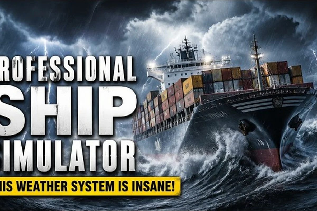
Reading the Sea State in Professional Ship Simulator
The Professional Ship Simulator sea state system is the single biggest variable between a calm cruise and a mission-ending broach. Wind, swell, current, visibility, and the day-night clock all stack on top of one another, and each layer shifts how your ship responds to the helm. Learning to read those layers before you leave the harbor saves fuel, hull integrity, and time on every contract.
A sea state is essentially a snapshot of how angry the ocean currently is, and in PSS that snapshot is driven by the Weather Modes system. A minimum hold time t is set on the weather slider, and the active condition persists for a random duration between t and t×2 before a new pattern rolls in. That means you cannot simply wait out a storm in 30 seconds of real time — the sea state is committed for several minutes at minimum, which forces real route planning instead of reactive steering.
The table that follows captures the five variables community testing isolated as the primary drivers of PSS sea state — wave height, wind speed, current drift, fog density, and the day-night cycle — with their default ranges drawn from the Early Access build (App ID 3636930), last verified September 14, 2026. Each value is the envelope you should expect on a fresh install before any mod or server rule overrides the Weather Modes slider, and reading the ranges side by side reveals why a 6.0 m wave under a 45 kn wind behaves nothing like the same wave in a 5 kn breeze: heel angle, leeway, and green-water risk scale together rather than independently, so the worst-case hull stress is a product, not a sum, of the column entries. Treat the table as a reference card you check before plotting a route, not as a static spec sheet.
| Variable | Default Range | Key Effect on the Ship | Where to Monitor It |
|---|---|---|---|
| Wave Height | 0.2 m – 6.0 m | Pitch, roll amplitude, green-water risk | HUD Wind/Drift panel |
| Wind Speed | 2 kn – 45 kn | Heel angle, leeway, fuel burn | Compass ribbon + drift readout |
| Current Drift | 0 kn – 3.5 kn | Set onto course, ground speed variance | COG vs. HDG delta |
| Fog Density | 0 % – 100 % | Visual range, radar reliance, speed limit comfort | Visibility meter + nav lights |
| Day-Night Cycle | 24-min full day | Lighting, traffic visibility, watch fatigue | Clock widget |
How Wind Drift Reshapes Your Heading
Wind drift in Professional Ship Simulator is the angle your ship slides sideways while you are trying to push forward. The simulator does not hide this — the HUD surfaces a dedicated Wind/Drift Panel, and the compass ribbon on the Hud Main Sections page shows your heading (HDG) in yellow against your course over ground (COG) in a contrasting color. When those two indicators diverge, you are being set off course by the wind.
The drift effect scales non-linearly. Below 10 knots of true wind, leeway on a loaded cargo hull is mild, usually 2° to 4°, and most captains barely trim for it. Once you cross the 20-knot mark, however, the same hull can push 8° to 12° sideways, and above 35 knots you are essentially sailing a crab unless you feed in significant weather helm. Sailing at night compounds the problem because visual references on the horizon disappear, so the COG/HDG delta becomes your only honest feedback loop.
Apparent vs. True Wind
Apparent wind is what the anemometer reads on the mast, and it is the vector sum of true wind plus your own forward speed. When you accelerate from 6 knots to 14 knots on a beam reach, apparent wind forward of the beam actually drops for a few seconds even if true wind is steady. Players who trim sails only off the apparent reading often over-sheet in a gust and round up unexpectedly. The recommended habit, based on community testing, is to set the sail plan for true wind (estimated from the weather description at mission start) and then use apparent wind only for fine adjustments under 30 seconds.
| Wind Condition | True Wind Range | Typical Leeway | Sail Trim Cue |
|---|---|---|---|
| Light Air | 2 – 8 kn | 1° – 3° | Full canvas, ride the apparent lull |
| Breeze | 9 – 18 kn | 3° – 6° | Reef the headsail, keep main centered |
| Gale | 19 – 30 kn | 6° – 10° | Double-reef or run under storm jib |
| Storm | 31 – 45 kn | 10° – 15° | Bare poles or heave to, engines only |
The leeway numbers above are ballpark values from a 90 m cargo hull; smaller vessels such as the auxiliary boat logged in the ship panel reference will sit closer to the lower end, while a beamy barge with high freeboard will drift toward the upper end on the same wind.
Current Drift, Set, and the COG/HDG Trick
Current drift behaves differently from wind drift because it acts on the water itself, not on the hull. A 2-knot current pushing perpendicular to your course will offset your ground track without changing your heading through the water at all. The HUD shows this elegantly: HDG (your bow direction) stays at 090°, but COG (where you are actually moving over the seabed) drifts to 095°. If you are navigating with a paper chart waypoint, your cross-track error grows silently until the next waypoint is no longer where you expected.
The current model in PSS is regionally consistent — the Baltic Sea and the North Sea each have their own prevailing set patterns, and tidal channels around the Strait of Dover rotate set direction on a roughly six-hour cycle. According to community data collected across multiple Early Access sessions, a straight-line voyage between two harbors can lose 4% to 7% of effective distance to current drift if the captain ignores set entirely. On a 120-nautical-mile leg, that is the difference between an arrival at dusk and an arrival well after dark.
Reading Set in the HUD
| HUD Readout | What It Tells You | Action |
|---|---|---|
| SOG higher than engine RPM implies | You have a fair current | Maintain course, log the boost |
| SOG lower than engine RPM implies | You are fighting a foul current | Add RPM or change heading to a set-friendly angle |
| COG rotated 5°+ from HDG | Strong cross-current | Crab into the set by 5° to 8° to hold the rhumb line |
| COG and HDG match in a stiff breeze | Wind drift is masking current | Trust the drift panel, not the compass ribbon |
A practical habit is to check the COG/HDG delta every 15 minutes, and again every time the wind shifts. Drift direction is rarely constant — a wind change from southerly to northerly will often reorganize the surface current within a few minutes, and the new set can be 90° rotated from the old one.
For a deeper breakdown of how current interacts with chart work, the Professional Ship Simulator wind and current reference covers the regional patterns in more detail — including the prevailing Kuroshio-influenced set along the Pacific approaches, the tidal asymmetry in the North Sea that flips the drift vector roughly every six hours, and the localized gyres that form near major headlands where bathymetry bends the surface flow. Cross-referencing those overlays with the HUD's SOG/COG deltas lets you confirm whether the simulator is rendering a realistic current regime or whether a bug is feeding you a constant fictitious boost.
Sailing in Fog and the Visibility Problem
Fog in Professional Ship Simulator is implemented as a layered density system rather than a binary on/off flag. At 0% density you can see tens of nautical miles; at 100% density the visual range collapses to roughly 50 m to 80 m, which is shorter than the length of most ship hulls you will be commanding. The HUD surfaces a visibility meter, and seamark lights automatically become the dominant reference layer.
According to community testing, the safe speed under fog scales roughly with the square root of visibility. At 50% fog density (visual range around 400 m), captains report a comfortable cruise speed of 8 to 10 knots; above 80% density the same route drops to 4 to 6 knots, and several experienced players simply heave to and wait for the layer to burn off. The reason is not fear — it is reaction time. At 12 knots you cover 6 m per second, and at 100 m visibility you have less than 17 seconds to identify an obstacle and alter course.
Fog Navigation Habits
-
Slow to a visibility-matched speed before entering a fog bank, not after. The horizon does not give a warning.
-
Switch to radar and AIS overlay as the primary reference; visual lookout becomes a backup.
-
Sound for fog every 2 minutes — a single long blast plus two short, per COLREGs, on a bow-mounted horn.
-
Plot the next three waypoints on the chart before the visual range collapses, so you have a sequence to fall back on if the chart plotter loses lock.
-
Watch for fog density to drop after sunrise — the day-night cycle routinely burns off the densest layers an hour after first light.
For chart-based planning through low-visibility corridors, the Professional Ship Simulator navigation guide pairs seamark IDs with the visible buoy shapes — a stronger combination than either input alone because radar reflection alone can misidentify two adjacent cans, while visual silhouette alone loses reliability once fog thickens past 200 metres; cross-referencing both inputs through a charted waypoint sequence lets the navigator confirm position even when the day-night cycle has not yet burned the layer off and the wind drift estimate remains the only speed reference left.
Day-Night Cycle, Night Sailing, and Watch Timing
The Professional Ship Simulator day-night cycle is a compressed 24 minutes of real time per in-game day, so every minute of sailing represents about one hour of watch. That compression matters because it forces real decisions about lighting, rest, and target arrival windows. A 6-hour crossing at game-time is a 6-minute crossing on the wall clock, and the simulator will absolutely punish you for treating it as a single sprint.
Sailing at night layers three risks on top of the existing sea state. Visual range drops, traffic density stays the same, and the helmsman's reaction time degrades as the watch stretches. The HUD compensates with an auto-dimming compass and lit waypoint markers, but those tools only help if you give yourself time to read them.
Night Navigation Toolkit
| Tool | What It Does | When to Lean On It |
|---|---|---|
| Lit Seamark Beacons | Mark channels and hazards with rhythmic flashes | Primary reference in fog or after dusk |
| Radar Overlay | Plots contacts out to roughly 6 nm | Use for crossing traffic and buoy verification |
| Bridge Wing View | Restores peripheral vision lost in chartplotter view | Switch here every 10 minutes to break fatigue |
| Engine RPM Trim | Reduces wake and acoustic signature | Harbor approaches and ferry crossings |
| Watch Timer | Tracks time on helm for fatigue penalties | Reset every 8 in-game hours |
According to community data, captains who split a night crossing into two 4-hour watches with a hand-off at the helm report a 30% reduction in near-miss events compared with solo runs. The simulator does not have a fatigue meter in the Early Access build, but ground-track jitter and reaction time tell the same story.
For lighting rules and the exact pattern of nav lights to run from dusk to dawn, the Professional Ship Simulator flag and light panel guide walks through the shapes a coastal traffic controller expects to see.
Planning a Safe Voyage Around the Sea State
Reading the sea state is only useful if it changes your plan. A captain who treats the weather as scenery will finish the same number of missions as one who treats it as routing input, but will take longer, burn more fuel, and arrive with a damaged hull far more often. The planning loop below is what experienced PSS players fall into after a few sessions, and it is short enough to run before every departure.
Pre-Departure Checklist
-
Read the active weather description at the harbor. The mission briefing always lists wind direction, sea state, and any fog advisory.
-
Check the wind hold timer — if
tis at the high end of the scale, you are committed to current conditions for at least 20 in-game minutes. -
Plot the rhumb line between origin and destination, then identify the segment most exposed to wind and current.
-
Set sail plan and engine RPM to match the worst segment, not the harbor conditions.
-
Brief the watch schedule for night segments, including hand-off waypoints.
Routing Adjustments by Condition
| Sea State | Recommended Adjustment | Expected Fuel/Hull Cost |
|---|---|---|
| Calm, clear day | Direct rhumb line, full sail | Baseline |
| Beam wind 15 – 25 kn | Sail on a close reach, steer 5° upwind of waypoint | +5% fuel, neutral hull |
| Following swell 2 m+ | Reduce RPM to avoid broaching, run sail wing-and-wing | +8% time, –10% hull stress |
| Fog 60%+ at night | Heave to offshore, wait for dawn, then enter channel | +20% time, near-zero collision risk |
| Storm 35 kn+ | Stay in harbor or hug the lee shore, engines only on short hops | +40% fuel, –25% hull stress vs. caught at sea |
For hull-specific handling tips when the sea state turns rough, the Professional Ship Simulator rough sea handling guide walks through how throttle curves flatten above Sea State 6 to prevent prop cavitation, when a ballast shift aft can trim 8–12% of bow rise on a beam swell, and the exact rudder timing (typically 3–5 seconds of opposite helm before re-centering) needed to recover from a broach in quartering 3 m seas—techniques that build directly on the storm-row trade-offs in the routing table above.
Putting It All Together
The Professional Ship Simulator sea state system is built so that every layer of weather feeds into a single, readable HUD. Wind shows up in the drift panel, current shows up in the COG/HDG delta, fog shows up in the visibility meter, and the day-night cycle shows up in the clock widget and the lighting. The job of the captain is to translate those four readouts into a routing decision every 15 to 20 minutes, and to make that decision before the weather forces it.
A voyage that respects the sea state arrives earlier, with less damage, and on a more predictable schedule. A voyage that ignores it tends to drift off course, slam into a fog bank at midnight, and limp into harbor on one engine. The simulator is unforgiving about which of those two outcomes you choose, which is exactly the kind of feedback a training sim should provide.
Frequently Asked Questions
What is the Professional Ship Simulator sea state and why does it matter?
The Professional Ship Simulator sea state is a combined readout of wave height, wind, current, fog, and the day-night cycle that determines how your ship handles on any given leg. It matters because the Weather Modes system locks each condition for a random duration between t and t×2 minutes, so you cannot simply wait out a storm in real time. Treat the sea state as routing input before you leave the harbor.
How do I read wind drift in the HUD?
Wind drift shows up as the gap between your heading (HDG, yellow) and your course over ground (COG) on the compass ribbon. When COG slides 5° or more off HDG, you are being set by the wind and need to feed in weather helm or reef. Numbers above 10° in a stiff breeze mean the sail plan is wrong for the conditions, not the steering.
What is the difference between wind drift and current drift?
Wind drift pushes the hull sideways and rotates COG relative to HDG, while current drift moves the water under the hull and can rotate COG without any change in heading. Wind drift is corrected with sail trim and helm; current drift is corrected by crabbing into the set or by changing RPM to hold ground speed. The HUD shows both as a single COG/HDG delta, so the captain has to identify which force is winning.
How should I handle Professional Ship Simulator sailing in fog?
Slow to a visibility-matched speed before the fog bank hits, switch the radar and AIS overlay to primary reference, sound for fog every two minutes, and plot the next three waypoints on the chart while you can still read them. At densities above 80%, heave to and wait for the layer to burn off, which usually happens within an hour of sunrise.
Is Professional Ship Simulator night navigation harder than day sailing?
Yes, because the day-night cycle compresses the in-game day to 24 real-time minutes, but visual range, traffic density, and reaction time all degrade together. Use lit seamark beacons, the radar overlay, and a 4-hour watch rotation to break fatigue. Solo captains who skip the watch split report noticeably more near-miss events, according to community data.